
Fridley Neighbors by Official Source
Records around a block answer different questions. The Anoka GIS supplies the parcel map and its local context. Property and tax records can identify an owner or mailing contact. Recorded instruments establish a document trail. Election tools explain civic geography, while city programs describe a public neighborhood layer. A Fridley neighbor search should keep those layers separate, because a parcel owner, a mailing recipient, and a current occupant are not automatically the same person.
| Source | What It Shows About a Block | Access |
|---|---|---|
| Anoka County GIS | Current parcel map, PIN, plat, districts, and aerial or plat links | Online viewer, GIS request, or public Property Records and Taxation room |
| Property Access and tax records | Owner, situs, mailing, assessment, and tax fields when available | Online portal, county contact, or data request |
| Recorded documents | Deeds, mortgages, plats, surveys, and time-bounded ownership evidence | Subscription, Room 119 terminal, or direct copy request |
| MNVotes and MyBallotMN | Registration guidance or the precinct and district serving an address | Individual address workflow and election-office routes |
| Fridley neighborhood programs | District, civic contact, public-safety programs, and event context | Address map, city programs, public meetings, or police contact |
The Property Access portal is the tax and assessment counterpart to GIS, but the research inspection found it in maintenance and could not verify its live controls. Use a current owner name, address, or PIN only when available, then compare the result against GIS. The county’s disclaimer prohibits data mining and extraction, so use the smallest manual query needed rather than assembling a block roster.
Define Fridley Neighbors by Parcel
Start with the target parcel’s footprint. The immediate block can include parcels sharing a side boundary, parcels across the street, and parcels behind the rear line. A map view is an orientation tool, not a legal survey. Anoka County says its parcel lines are approximate, so a boundary or title question belongs with the recorded legal description and the certified instrument.
For each adjacent parcel, retain only the fields needed for the question: PIN, situs address, city and ZIP, plat or lot and block, owner and mailing address, public district fields, and links to the plat or historical aerial. A Fridley address can have Minneapolis as a postal city in ZIP 55432 even when the parcel municipality is Fridley. Keep municipality and postal city as separate notes.
Map Fridley Neighboring Parcels
The Anoka GIS method is an address-to-parcel workflow. The viewer accepts a PIN, house number, street name, or partial address. Its instructions say to leave out city and punctuation in an address search. Parcel IDs work with or without hyphens. If a street name returns several entries, add the house number, inspect the map, and use the selected PIN as the stable link to the parcel card.
- Enter the target Fridley address in the GIS and open the matching parcel record.
- Record its PIN, situs address, plat, legal-description lead, and the map footprint.
- Click the side, across-street, and rear parcels, recording each adjacent PIN rather than copying a name list.
- For each PIN, retain the owner and mailing field separately and open the plat or historical-aerial links when parcel context matters.
- For a dated ownership question, search the recorder by grantor or grantee and match the legal description, then stop at the needed period.
For a complete named-street record chain, use the Fridley street directory. That address-focused route covers a longer street sequence; the immediate-block method stays with the adjoining parcels.
Fridley Neighbor Address Fields
Owner, mailing, and situs are three different record fields. The owner is the person or organization named on the source date. The mailing address is where that owner receives mail. The situs address is the location of the parcel. A mailing contact can belong to an association, a trust, a lender, or another location. A recorded owner can also differ from the person who is present at a property.
| Field | Proper block use |
|---|---|
| PIN | Links the map result to parcel, tax, plat, and document research. |
| Situs address | Identifies the parcel location, not the present household. |
| Owner | Shows the named ownership entry at the time of the record. |
| Mailing address | Shows the correspondence destination, which may be elsewhere. |
| Plat and aerial links | Supply land and map context without proving occupancy. |
The inspected Fridley GIS sample PIN 24-30-24-41-0259 illustrates the limit. It had a blank address but showed Fridley, ZIP 55432, Innsbruck Villages 3rd Addition, 2.55 acres, an association owner, a Fridley mailing address, and plat and historical-aerial links. A blank situs address is evidence to preserve, not a prompt to infer a household.
Fridley Neighbors and Voting Geography
MNVotes verifies a registration match only after the required personal fields are supplied. It can use first name, last name, birthday, ZIP Code, county, city or township, house number, street, and unit information. It is not a way to obtain everyone associated with a Fridley block. Minnesota law controls voter-file inspection, copying, permitted uses, and searchable online publication.
MyBallotMN has a different purpose. An address or ZIP Code can return the next election, polling place, ballot information, precinct, districts, and caucus locations. That makes it useful for understanding an address’s civic geography. It does not confirm who lives at the address. For a local question that cannot be handled by the tools, contact Anoka Elections or the Minnesota Secretary of State rather than attempting to create a block-level voter list.
Fridley NRO Districts
Fridley’s neighborhood map provides an address-based public layer for civic information. The city has 11 police and Neighborhood Resource Officer districts, with two Neighborhood Resource Officers assigned to each district. It is a public-safety structure, not a resident directory. Entering an address helps identify the district for a civic question without disclosing a private membership list.
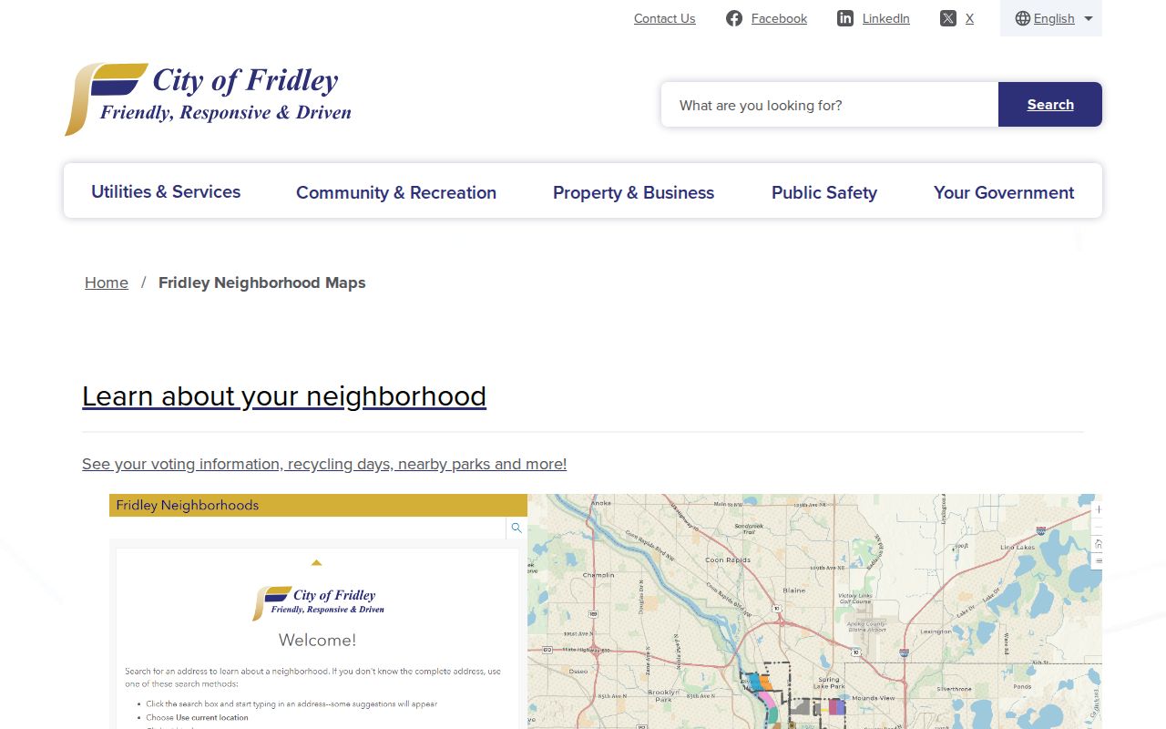
The map connects a Fridley address to public civic information such as voting, recycling, and parks. It works alongside, rather than in place of, the parcel map used to identify the physical block.
Fridley Safety Programs
The city’s Neighborhood Ambassadors connect residents, businesses, and neighbors. Neighborhood Watch supports block awareness, and the city reports more than 80 Night to Unite block parties. District contact and program information are available through the city’s Safety Programs page or Fridley Police at 763-572-3626.
Fridley Neighbor Public Meeting Trails
Public meeting material can add neighborhood history without turning a block into a personal roster. Fridley’s HRA was established in 1965, has five resident volunteers, and holds monthly first-Thursday meetings. Its public agendas and minutes can document civic projects and participation. They are not a neighborhood membership directory and should not be read as one.
Fridley’s property-maintenance and code process is another municipal record route. The city accepts anonymous address complaints, says it responds in one to two business days, and treats complaints as confidential under the MGDPA. A case can concern a reported condition or response process. It cannot establish who occupies a home.
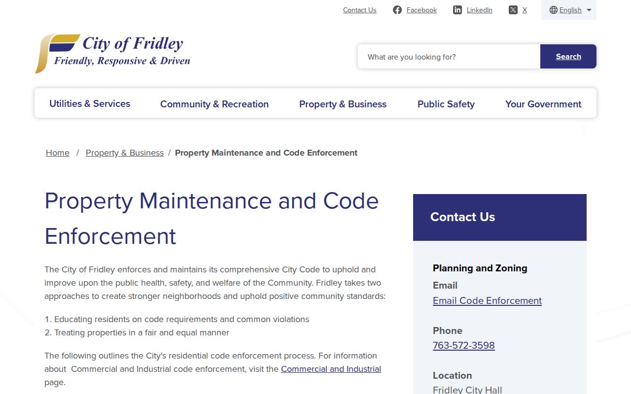
The city’s code page is a reminder to separate public procedure from private complaint data. Ask the city custodian for a classification decision when a public record is not available online.
Fridley Neighbors on Past Maps
Historical sources can explain how a Fridley block changed without making a current-neighbor claim. The Anoka County History Center holds county and city maps from the 1850s forward, with documented land-plat examples from 1888, 1914, and 1932. Compare an older plat or road survey with the current GIS parcel, then preserve the legal description and map date. A modern PIN may not have existed before a subdivision or parcel split.
The History Center also has newspapers, obituaries, census materials, photographs, directories, and local subject files. Its research staff can help with a time-bounded place or family question through a visit, request, phone, or email. The Fridley telephone-directory holdings begin in 1953 and continue through selected 2005 print and fiche years. A directory entry can support a listed name, phone, and street address in a particular year, but it does not prove ownership or continuous occupancy.
Compare Fridley Neighbor Sources Carefully
Official block records identify a custodian, a source date, and the limit of each field. Commercial neighbor-search categories often combine sources of different dates and quality, and they can carry stale addresses, false matches, paywalls, or unclear provenance. They are not needed to understand the documented parcel and civic record trail.
| Source category | Best use | Key limit |
|---|---|---|
| Official parcel, recorder, election, and city records | Focused questions tied to a defined field and custodian | Each record has a narrow scope and may not show occupancy |
| Commercial neighbor-search category | Not authoritative for a property or person conclusion | Mixed provenance, stale data, identity errors, and unclear update dates |
Note: Record the source date and field meaning before comparing two block results that appear to identify the same person.
Fridley Neighbor Privacy Limits
Fridley has no located public HOA or citywide neighborhood-association member directory. The city’s public resources are its address map, the 11 NRO districts, Neighborhood Ambassadors, Watch, Night to Unite, public meetings, and official municipal records. A missing private roster is not a gap to fill through a compiled parcel or voter list.
Minnesota Safe at Home keeps eligible participants’ real addresses out of the local elections office and provides a substitute PO Box. Voter-name withholding or inactivation can also explain a missing record. Under the Minnesota Government Data Practices Act, classification controls access, and an inaccurate county or city record should be challenged with the custodian that holds it. Do not attempt to bypass protected or confidential data.
Lawful use. Use Fridley neighbor records for lawful personal, civic, family-history, property, or safety awareness purposes. Do not use an address, parcel, or public program to stalk, threaten, intimidate, repeatedly contact, dox, or harm anyone.